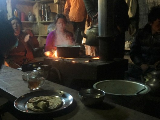
The morning of Friday 18th November dawned very cold indeed. We were fortunate that the campfire had retained some heat and could be restarted by Gyalbu and Sangye while boiling some water for tea. The tsampa porridge was no more appetising than usual but eating it around a fire accompanied by hot tea seemed to make it more palatable. Possibly our shaking cold hands made a better job of stirring the customary lumps out of the mixture. Apart from the crackling of the fire and the occasional snorting of ponies as they foraged in vain for edible grass or more leftover Smash from dinner, the campsite was silent. We had neither seen nor heard any wildlife among the sparse and bare silver birch, nor on the steep mountainside to our rear; littered with dead trees and branches that had succombed to the grip of winters past. Even the diminutive evergreen bushes that might have offered cover to a small animal appeared devoid of life and the leaf mould around us bore no footprints other than ours and those of our ponies.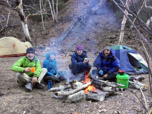 After breakfast we quickly packed our tents and other gear and made for the footpath south. Today we would follow the Phoksundo Khola for about 7 miles to the lake about which we had heard so much, and then take the precipitous western footpath to the village of Ringmo on its southern shore.
Sangye and the horseman with his string left camp at about 8:30 and we followed shortly after. Our track remained within the gorge for the first while. Although this river valley was wider than yesterday’s tributary and the escarpments either side were progressively softening we were initially in shadow with hats, gloves and thick jackets essential. Through the valley ahead, beyond the V-shaped silhouetted rock faces and grey boulder-strewn footpath flanked by the ice-cold river, we could see snow-covered mountains above green forests in sunshine. The silver birches to our side seemed to be begging; their gnarled upper branches reaching into the crystal clear blue sky above, as anxious as we to escape the starkness and bitter cold of the morning shadow.
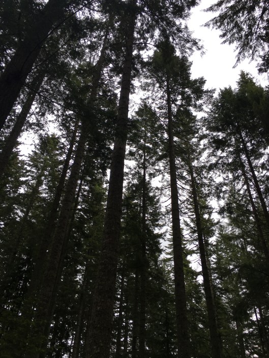
After 30 minutes or so our wait for the sunshine was over and we stepped into a different world. The air was no warmer but the sun’s rays warmed us enough to remove a layer or two of clothing and enjoy our walk along the flat, broad and sandy riverbank. The mountainsides left and right were at a gentler angle enabling small forests of pine to take hold and smaller deciduous trees and bushes to flourish. Many of these were bare due to the time of year but for the first time in many days we could see evidence of life.
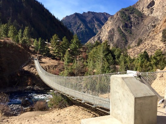
Our first river crossing was via a ricketty wooden bridge. Most of the footway planking had fallen off and been swept away so three quarters of the crossing was made balancing along one of the two main bridge spars; rough-hewn tree trunks. We later came to regret that this was the only bridge encountered as all subsequent crossings, of which there were many, were un-bridged.
The first of these were taken ‘boots on’ by Tim and Jovi, while Lizzie and I decided to remove ours to keep them dry and wade across. As a result Tim and Jovi were well downriver before we had crossed, boots tied across our shoulders, slowly and gingerly trying to find a route without painful sharp rocks underfoot while ignoring the growing lack of feeling in our toes. Mercifully the crossing was accomplished in less than two minutes and we gratefully dried our feet and put our boots back on; toes now very clean but still numb. Mark was with Gyalbu behind us making slower progress due to taking many photographs so Lizzie and I continued in pursuit of Tim and Jovi who were by now out of sight among trees.
Before long we had to cross the river again and went through the same boots off-boots on process. The difference this time was that our feet were still frozen from the previous crossing. Nonetheless, we stuck to our belief that in the long run our policy of retaining dry boots would pay off. This time our feet were seriously complaining and the second dunking in icy water while teetering over sharp rocks proved to be the last. It was just too slow, too cold and too painful. The rest of the crossings were accomplished at speed, with boots on, trouser legs rolled up and with much laughter, as demonstrated here by Lizzie.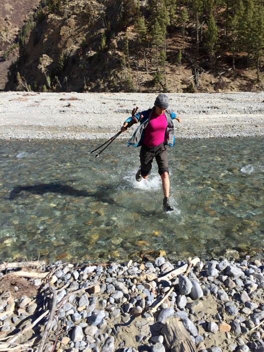
Unsurprisingly, without having to stop and recover after every chilly crossing we then made much faster progress as our feet gratefully carried us to the lake along pale sandy footpaths. Flanked with sunlit fresh small pine and other evergreen trees, low scrub and with the mountain views around we could hardly believe we were still in Dolpo – it was such a change from the previous 2 weeks and so beautiful. We could have almost believed we were in Northern Europe or Canada.
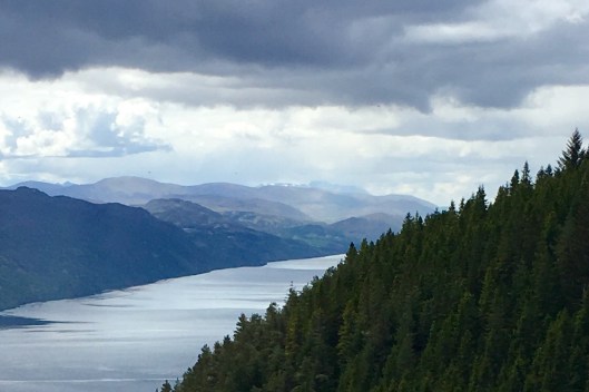
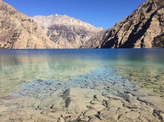
Then about 10:30 we reached Phoksundo Lake. Wow! Just wow!!
Directly ahead in the distance, beneath a sky that still refused to carry a single cloud, were stark grey mountains in silhouette; jagged-ridged and riven alternately with sharp arêtes and steep-sided valleys. Either side were pine forests on craggy mountainsides. In the foreground was grassland, now rendered parched and withered by the lack of rain and the determined grazing of countless sheep that use this route south, strewn liberally with rocks and boulders. And in the middle, oh my. In the middle was Lake Phoksundo, a striking, magnificent sapphire blue almost mesmerizing in its intensity.
As we approached we could see people and ponies too. The ponies were pack animals. They were not ours as our main packs were not evident and Sangye and the horseman must have already moved ahead. To one side Tim and Jovi were stopped for a break and to their front were a group of a dozen or so people. As Tim and Jovi saw us they waved and we returned their wave. The other group, we could now see they were Dolpo-pa taking a break too and it was their ponies that were grazing, must have thought we were waving to them and they waved back. I recognised one of the group as someone I had seen before – a younger woman wearing glasses. Spectacles are a rarity in Dolpo which is why I remembered her. At the edge of the group was an older lady wearing a blue scarf wrapping a blanket around a child. It was the boy who I exchanged nods with at the pass yesterday – the boy in the orange jacket. While Lizzie and I and the others were on our trek the boy was with his mother and wider family heading south. They were not on a holiday as we were but had left their home in Saldang for the winter because it could not sustain them. As a result of us deciding to avoid the increasing perils of the northern passes in winter we had become witness to the reality of life in Dolpo. I was truly stunned at the time at the realisation of what we had stumbled into. I remain very grateful to have been lucky enough to be in the right place at the right time.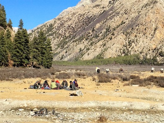
Once Lizzie and I had taken a break with Tim and Jovi, and once Mark and Gyalbu had joined us, we all moved on. The Saldang family were showing signs of moving on too and we assumed their sheep would move slowly so we should move ahead of them. This would enable us to make faster progress and not have to walk in the wake of the inevitable cloud that would surround them on the dry dusty paths ahead.
Each step we took as we ascended the pathway that snaked around the western side of the lake brought views of even greater majesty. Sometimes our view of the lake was through stands of pine trees dappled with sunlight.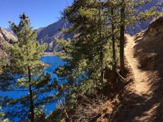
Sometimes we stopped, stunned anew with wonder in the presence of such beauty. 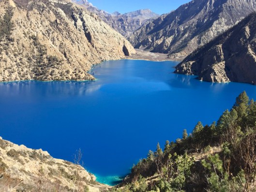
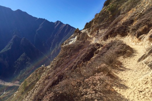
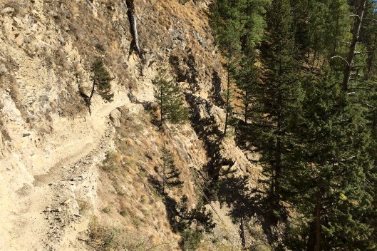
Stopping was important not just to better appreciate the view and take photos, but because the path was becoming increasingly ‘airy’ and I knew only too well the impact of not watching one’s footing at height. Indeed we were stopping so often that Mark and Gyalbu caught us up, as did the Saldang family and their animals, so we redoubled our attempts to stay ahead of them. We had a degree of success and looking back could see the Dolpo-pa taking great care along one of the paths we had just skipped along, engrossed in talk of our surroundings. In this photograph the ribbon path may be seen with some of the Saldang ponies at top-centre. Seeing this we gulped and decided to slow down.
Roughly half-way along the path we rounded a bend to the right and for the first time could see Ringmo at the southern end of the lake, surrounded on its other 3 sides by forest and mountains. Not long after the sound of the neck bells that adorned the Saldang ponies became more pressing. They were moving fast and we needed to move at their pace or let them past. We chose the latter.
We had just arrived at an incredible viewpoint that demanded time to appreciate. Lizzie grabbed her camera (again) little knowing that she was about to take one of her last 20 photos. Her camera battery was destined to expire later that day without any chance of re-charging it. Here she is making the most of the view and the battery life.
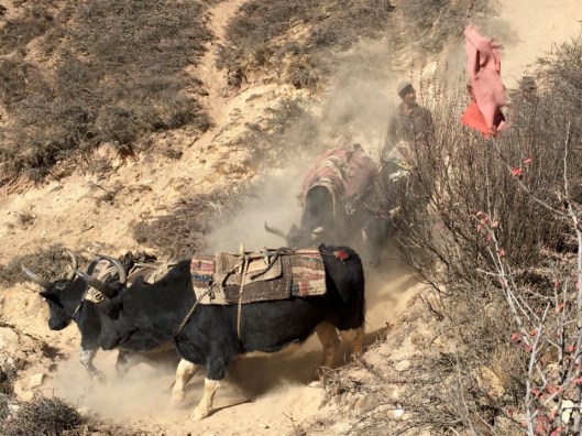
And here’s why. We were on a rocky promontary from which Ringmo had come into view. As it was the high point of the path it was adorned with prayer flags rippling in the stong wind and bringing into sharp contrast their surroundings. Next to us was the slippery rocky sandstone path – too steep to hurry down. To the right was a rocky mountainside dotted with trees but too steep to sustain a forest beneath which was the southern end of the lake glinting in bright sunshine. Beyond the lake was the village and its flanking forests. As we gazed in rapture the first of the Saldang pack animals appproached our position. A grey pony with a red decorative headpiece, a red-dyed yak’s tail about its mane and a collar bearing 20 or so bells this immensely strong animal, bearing 2 enormous sacks of grain, was the leader of the string and barely faltered when it saw us. 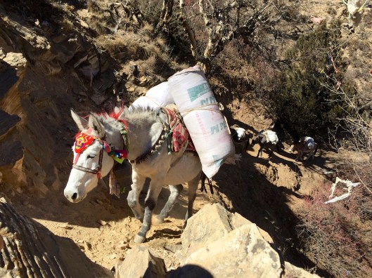
Driving resolutely past us at a distance of about 5 feet the leader was followed by other ponies and mules; unadorned but equally heavily loaded. After a dozen or so had passed people joined them. First was the Saldang horseman, or at least the person fulfilling that role on this section of their journey. All the time my camera was recording the scene but the best shot of all was taken by Lizzie as the boy in the orange jacket passed with his mother and family. They looked quickly at us with some recognition but without emotion as the path dropped away and their gaze was focused ahead.
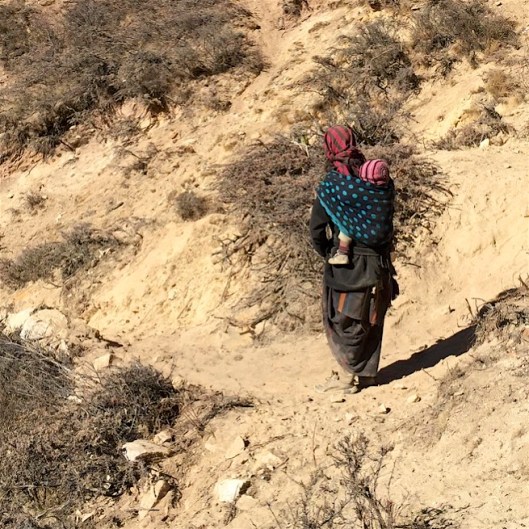
Some time later, once the remainder of the pack animals had gone a dust cloud grew in their stead as the sheep were driven past by several women herders. There were 2 older women at the front wearing traditional dress and headscarves to protect them from the dust. Thery carried their bags with tump straps on their foreheads.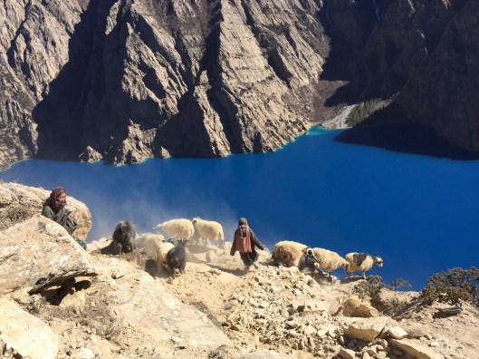
Behind the flock was another woman also wearing a headscarf. She was the young woman with glasses I recognised earlier and she wore trousers and a green jacket and carried her things on her back in a blue rucksack.
Once the family had gone Lizzie and I followed, amazed at the speed with which the Dolpo-pa descended the tricky path. To think we had started ahead of them so as not to be delayed!
The next section of the route was something I had looked forward to ever since I knew we would come this way. In the film ‘Himalaya’ the older yak caravan leader, Tinle, tries to catch a younger caravan leader rival (Karma) by taking his caravan on a short cut along this very path. In the film it was called the ‘lake path’ and other members of Tinle’s party were dramatically horrified that he was going this way. Shorter it most definitely was, but far more dangerous as the path was steep and very narrow and a slip would be fatal. While Tinle was ultimately successful his use of the lake path it cost the life of a yak and its salt when a bridge dramatically collapsed and the yak fell to its death (only in the film – not for real!). We followed Tinle’s footsteps over that very section. Here is Lizzy being (very) careful over the path that collapsed in the film, now packed with supporting boulders underneath. You’ll notice I took the photo from some distance as it wasn’t a place to lose concentration!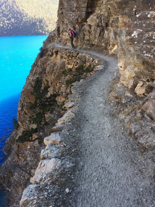
Not long after this we arrived at Ringmo where we were to have lunch then rest. It was not yet 2pm but we’d already had a very full day. Extraordinarily, by pure chance and amazing good fortune, we had followed the migrating family from Saldang and their animals over the lake path so dreaded by Tinle’s yak caravan herders in ‘Himalaya’. While the film dramatised the path brilliantly with the help of a dummy yak floating in the lake after its ‘fall’, to be frank we found it quite dramatic enough in real life. And all before lunch too!
Suddenly the frigid campsite where we had spent the night and departed in gloomy shadow just 6 hours before seemed a lifeltime ago.


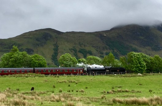
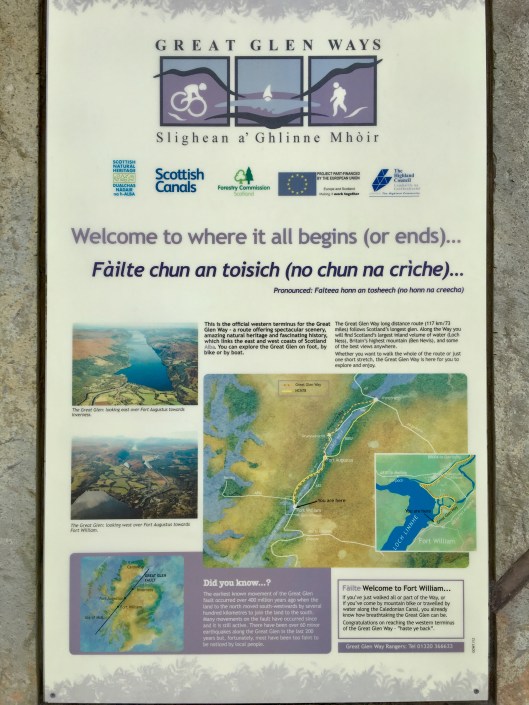


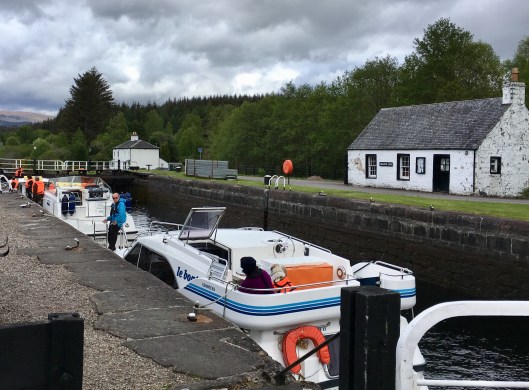
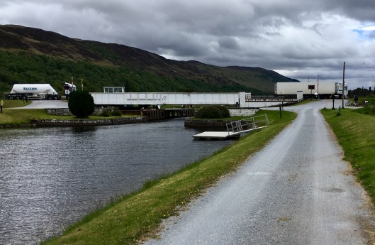

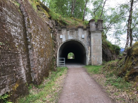
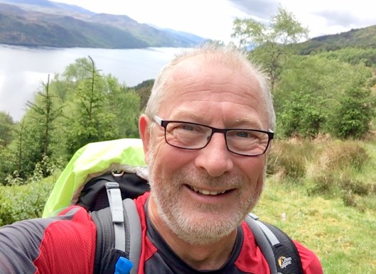
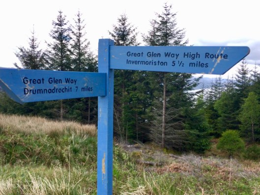


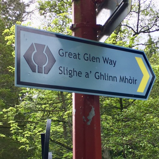
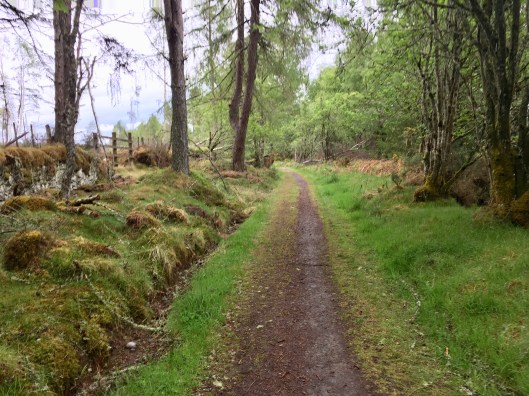
 I should explain that the Great Glen Way can be walked in either direction. There is no ‘right’ way or ‘wrong’ way. However most people walk west to east, from Fort William to Inverness to benefit from having the prevailing wind at their back, rather than in their face. I’m doing it the other way for logistical reasons to tie in with train timings and so that, as I’m doing the walk over 4 days rather than the customary 5, I will have a 25 mile leg as my final day rather than my first day. Mercifully there is no significant wind forecast so the direction of travel makes no difference.
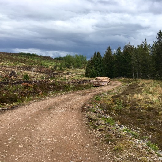
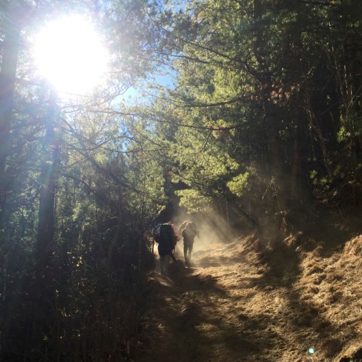
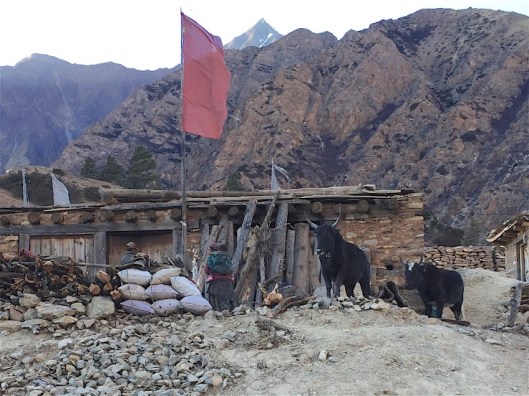
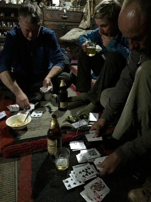
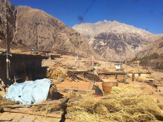
 From Sanduwa there were many more river crossings as the path zig-zagged along the increasingly rapid and channelled Phoksundo Khola. With a Scandinavian appearance the terrain became more green with evergreen trees predominating. Conveniently, at around lunchtime we stumbled upon a small military base whose cooks were happy to sell us delicious Dal Bhat (Nepalese lentil curry) and some fairly cool San Miguel after which it was further criss-crossing of the river on normally, but not always, safe-looking wooden bridges.
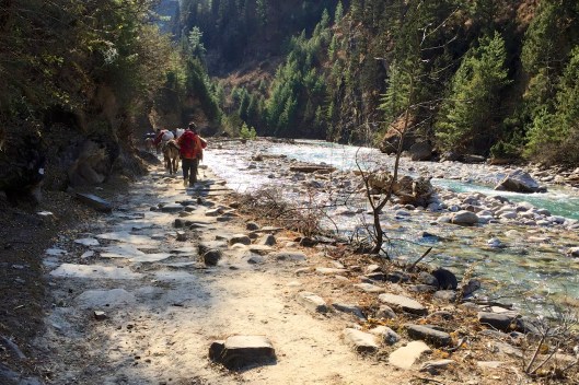
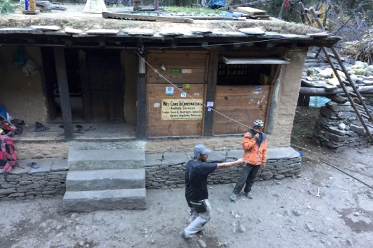
 …while our horseman, Sangye and Gyalbu looked on in amusement beneath a sign unexpectedly saying ‘HAPPY NEW YEAR’.
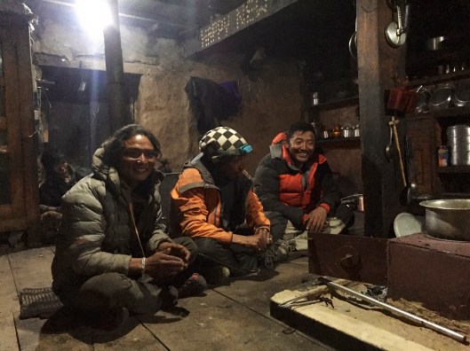
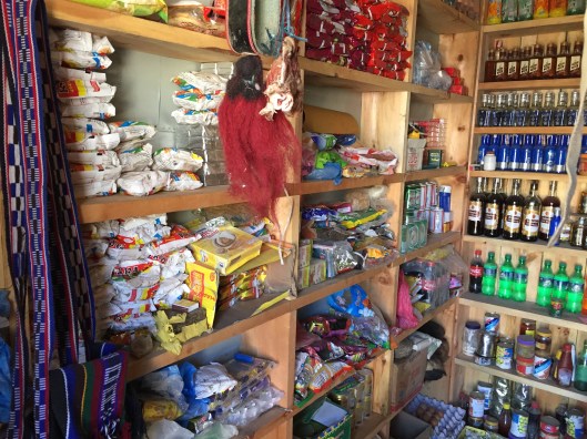
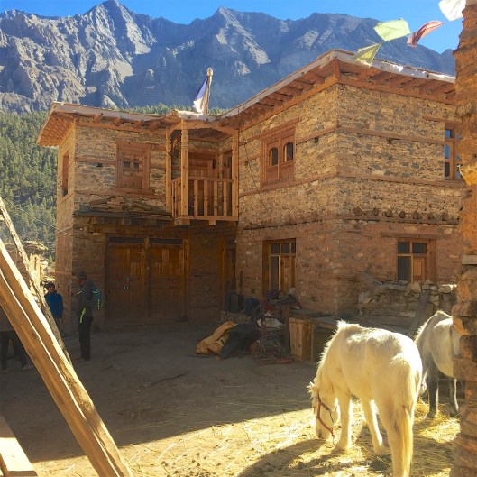
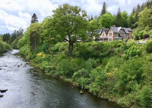
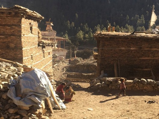
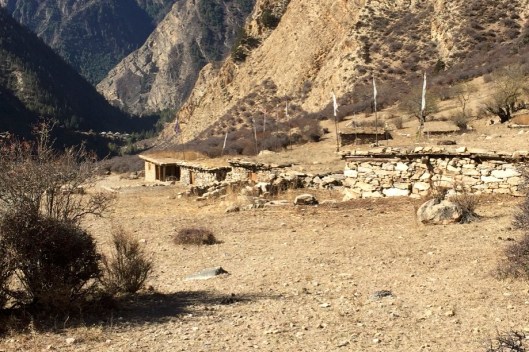
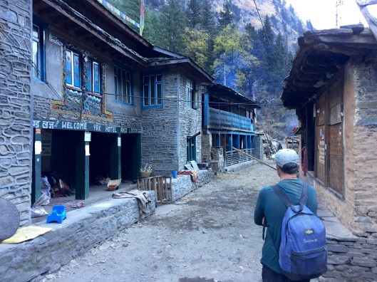
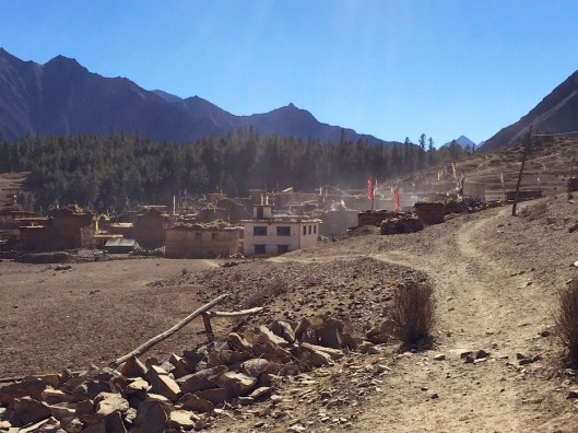 Characteristically dry and dusty under a sky as blue and crystal clear as the lake Ringmo nestles on the banks of the Phoksundo Khola on what is becoming one of the most popular trekking routes in Dolpo. While electricity remains provided entirely by solar power there is one telephone, presumably in the post office which must have been cunningly concealed. Such is the hope of the residents that a new hotel has been built by the headman to attract more visitors.
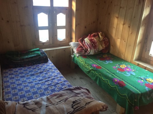
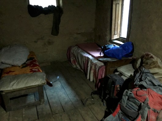
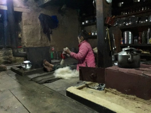
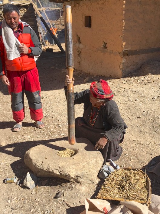
 I understand there were enquiries made by the owner when he learned we weren’t staying there, instead electing to spend a couple of nights with another family who had added bedrooms to their existing house and called it a ‘hotel’ and which was recommended by our horseman. Leaving to one side the basis for that recommendation, while the new hotel stood on high ground with a pleasing view over the village and its surroundings, our chosen abode had more homely qualities; think rustic guesthouse. Reached down a series of alleyways between low, flat-roofed stone buildings variously housing people, yaks and grain, and often all three, dodging goats and inquisitive grubby children we were led to an open courtyard.